Coos Bay Response Co-Op
The Coos Bay Response Cooperative, Inc. (CBRC) is a non-profit marine industry-owned association consisting of the terminal operators in the Coos Bay harbor. CBRC was formed in 1994.
Pursuant to Oregon 593242-A, Oregon's "Regulations Pertaining to Oil Spills into Public Waters" OAR 340-47-180 (7) (July 1992) allows for submission of a single plan for more than one covered vessel provided that the plan contents meet the requirements for each covered vessel listed. Accordingly, this plan is intended to cover CBRC Enrolled Member Vessels transiting Coos Bay waters.
The CBRC has developed this "Umbrella" Oil Spill Contingency Plan (Plan) to cover general commercial vessels calling at berths in Coos Bay. Oil Terminal Owner/Operators and Tank Vessels including Self Propelled Tankers and Tank Barges are covered by their respective Vessel/Facility Plans, and may site the resources listed in the Plan if they are members of the CBRC and have executed appropriate Service Agreements.
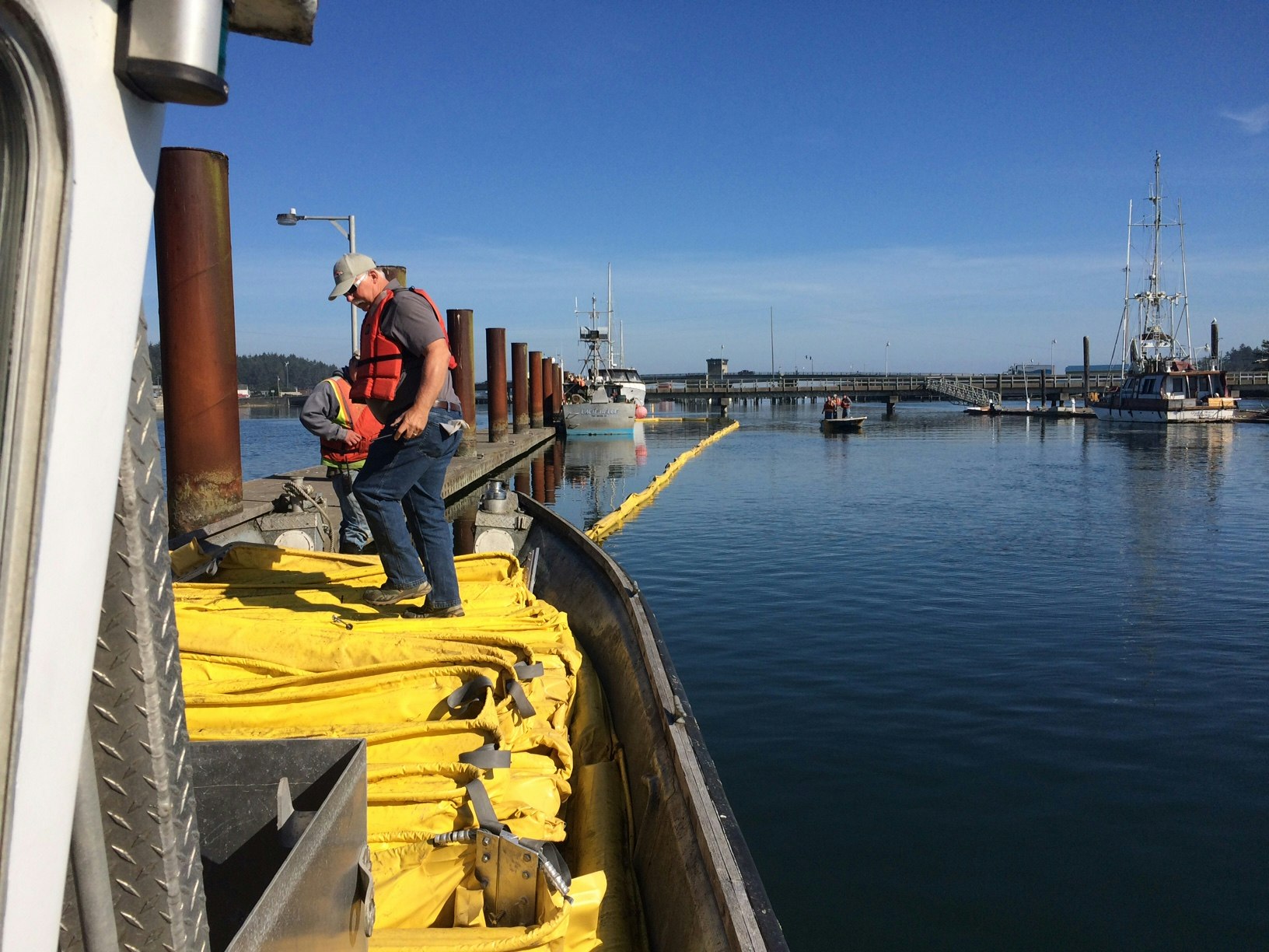
CBRC acts as an initial responder. Additional contractors would be called out as necessary depending on the nature and duration of the response. After 24 hours, the responsible party can bring additional contractors as necessary and reasonable.
The purpose of this Oil Spill Contingency Plan (Plan) is to design systematic protocols consistent with the National Contingency Plan (NCP), Oregon's Regulations Pertaining to Oil Spills into Public Waters (OAR 340-47), to be followed by CBRC enrolled vessels with respect to:
- Procedures taken to prevent waterborne oil spills
- Measures to be taken to protect economically or environmentally sensitive areas
- Procedures for early detection of spills
- Access to emergency communications systems
- Periodic personnel training and response drills
- Providing adequate equipment and trained personnel for spill response
- Establishing effective spill response cleanup methods
- Establishing strategic repositioning of spill response equipment
- Handling and disposing of spilled oil and oil debris
This Plan describes realistic response capabilities for removing spilled oil promptly while attempting to minimize damage. Its objective is to provide for a pattern of coordinated, integrated response actions by federal, state and civilian forces during a spill incident.
This Plan has been prepared to address spills associated with the operations of any CBRC enrolled vessel considering the types of petroleum products handled by the vessels and the surrounding environment. Environmentally sensitive areas and resources have been identified and targeted for priority protection in the event of a spill.
GEOGRAPHIC COVERAGE
The geographic area covered by this Plan, as required under OAR 340-47-150(4)(a), consists of Coos Bay from the Isthmus Slough Bridge at river mile 15 to the mouth (at river mile 0).
SIZE OF WORST CASE SPILL
The "worst case spill", as defined by regulation, is a spill of a vessel's entire cargo and fuel complicated by adverse weather conditions (during which wind, reduced visibility, and sea state hinder but do not preclude normal response operations). In this Plan, the worst case spill scenario by definition of OAR 340-47-010 (36)(c) means the loss of a "...vessel's entire cargo and fuel complicated by adverse weather conditions...", and is defined as a general cargo vessel of 800 feet OAL, carrying 15,000 barrels of bunker fuel.
Emergency response scenarios for small, maximum probable, worst case, and simultaneous oil spills are addressed in section 11.0 of the Plan.
For additional information, go to http://coosbayresponse.com or contact the CBRC Coordinator.